From the summit station to the start of the Skytour on the Hochkar
Short, asphalted connecting route from the Hochkarbahn summit station to the "Skytour" circular trail.
Wir haben Samstag, Sonntag, Feier- & Fenstertags bei Schönwetter von 09:00 bis 16:00 Uhr geöffnet.
Tour Starting from
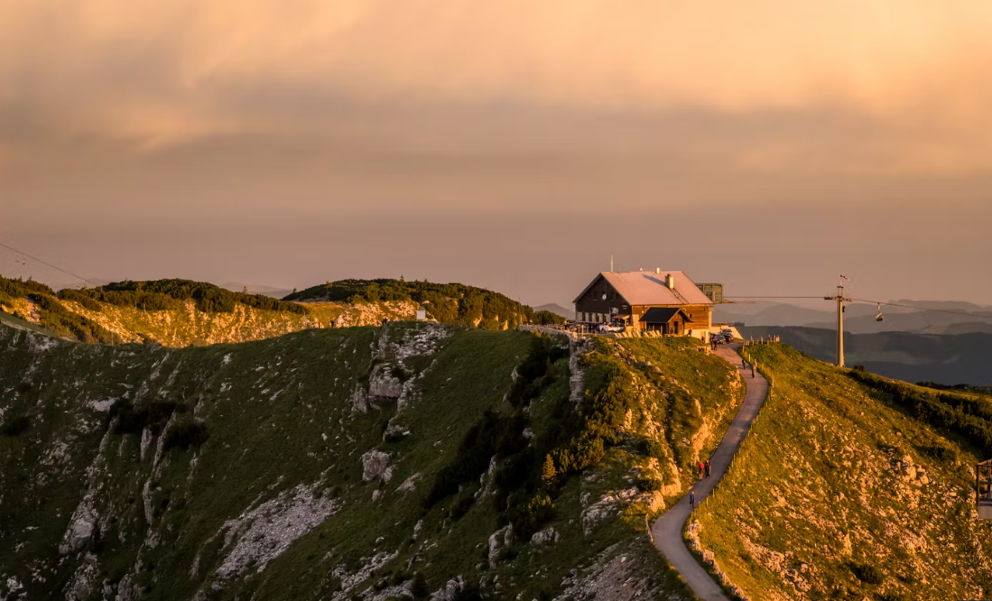
From the summit station to the start of the Skytour on the Hochkar
From the summit station to the start of the Skytour on the Hochkar
Short, asphalted connecting route from the Hochkarbahn summit station to the "Skytour" circular trail.
Leider können wir Ihnen zum jetzigen Zeitpunkt keine Wetterdaten für den Ort anzeigen.